
Waterways Management
Navigation data for major rivers and other waterways.
Most requested
National Services and Information
Canadian Coast Guard - Waterways Management
Guidelines, levels of services and other information about Canadian waterways and shipping channels.
Regional Services and Information
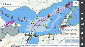
Central region
Navigation data for major rivers and other waterways for the central region.
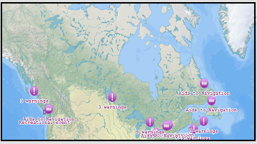
Atlantic region
Navigation data for channel monitoring surveys in the Atlantic Region.
Pacific region
Avadepth, forecasts of available water depths for vessels navigating the Fraser River South Arm Channel.
Features
Report a problem on this page
- Date modified: