
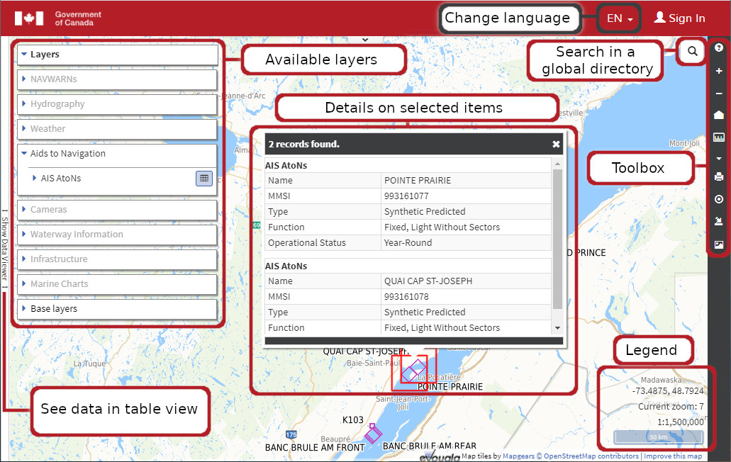
Interactive Map
View and interact with maritime services on our interactive map. You can zoom, pan, show or hide layers, and query data directly using this Geographic Information System.
This is developed with the collaboration of eVouala engine by MapGears.
Access interactive mapHighlights
- All layers of information used come from reliable official sources.
- New layers and features will be added periodically.
Overview
Report a problem on this page
- Date modified: