Automatic Identification System (AIS) on Ships
While there are numerous applications of the Automatic Identification System (AIS) including on AIS aids to navigation (AIS AtoNs), for land-based stations, and for Search and Rescue and Emergency Position Indicating applications, the following is a general introduction to the Automatic Identification System as it applies to marine navigation and the piloting and operation of ships. Other applications will be discussed in future publications on the e-Navigation Portal.
Section 1. Overview of the Automatic Identification System on Ships
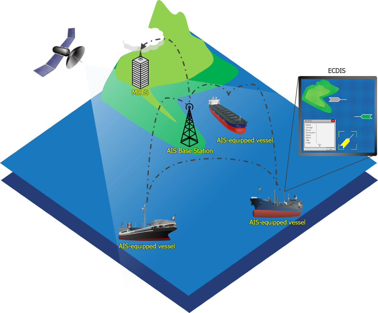
AIS is a digital positional awareness system operating in the Very High Frequency (VHF) maritime band. Its purpose is to help identify ships, assist in target tracking, assist in search and rescue operation, simplify information exchange (e.g. reduce verbal mandatory ship reporting and other radio traffic), and provide additional information to assist situational awareness (International Maritime Organization (IMO), A 29/Res.1106).
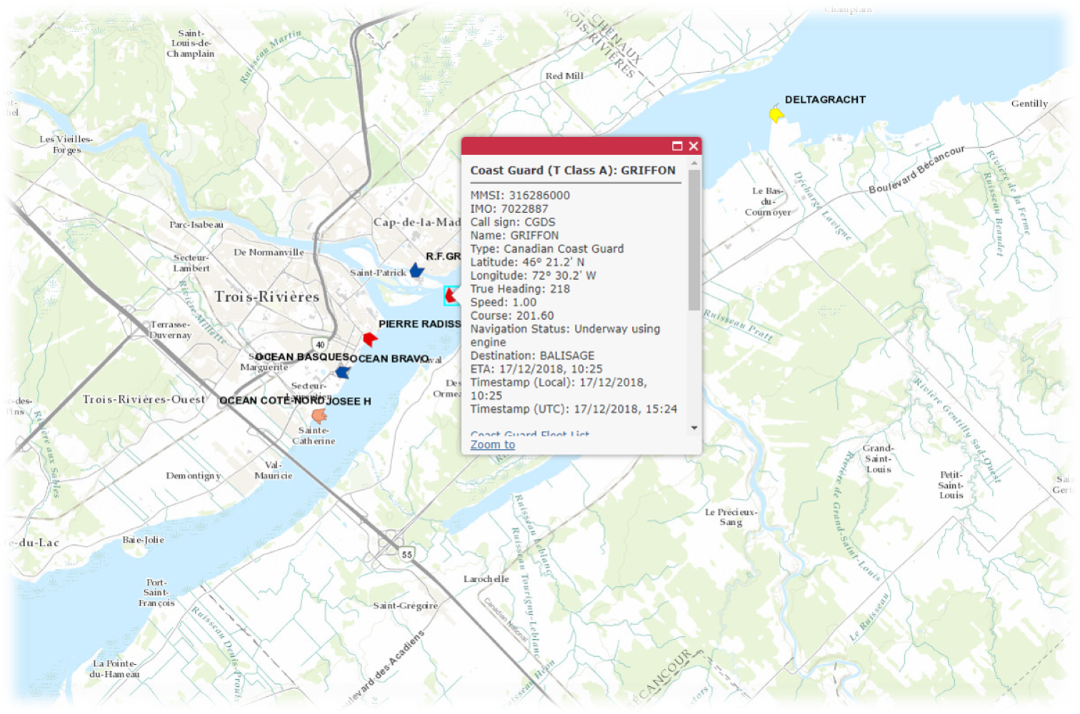
AIS allows vessels to automatically broadcast and receive static, dynamic, and voyage-related information such as:
- Identification (Maritime Mobile Service Identity)
and IMO number; - Call Sign and Name;
- Type of Vessel;
- Destination;
- Last Port of Call;
- Dimensions;
- Position;
- Course;
- Speed;
- Navigational Status;
- Draught; and
- Type of Cargo.
This information can be displayed on devices such as Electronic Chart Display and Information Systems (ECDIS), Electronic Chart Displays (ECS), Portable Pilot Units (PPU), and radars. This information can be useful in making informed decisions and may improve marine safety and security. For example, AIS allows fast and automatic calculation of the Closest Point of Approach (CPA) and Time to Closest Point of Approach (TCPA) from the target vessel’s positional information.


SEE ALSO:
Next: How does the Automatic Identification System work on board ships? ⇨
Report a problem on this page
- Date modified: